The Royal Institute of Navigation have been in the news today with a press-release titled “Society “Sedated By Software”, Needs Nav Skills Taught At School”.
It’s about the demise of traditional map-reading and navigation skills. They say, with the growth of digital mapping and GPS-enabled devices:
“generations are now growing up utterly dependent on signals and software to find their way around.”
Now, I’m a bit disappointed they’ve gone with the hackneyed line invoking the technology-as-sedative argument and inevitably saying the solution lies in schools but I do have a lot of sympathy with their main point.
I love maps. No, wait. I bloody love maps! They’re how we represent place to ourselves and, more importantly, how we relate to that place. And they’re beautiful and functional at the same time.
So, being able to read a map, place yourself in relation to it or even carry around a reliable mental map are, I think, an essential part of learning about the world. I hope I can help my kids become good map readers.
But I also think that this isn’t a maps-good: technology-bad debate which some people might see it as. Technology has got a crucial role to play in engagement with mapping and interpretation of place.
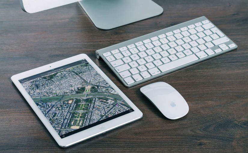
The UK’s Ordnance Survey maps are the gold standard for mapping. Although tools like Google Earth and Streetview don’t come close they still offer a massive amount in the way of data layering, scaling, interactivity and social media. It can only be a good thing that children (and grown-ups!) spend ages flying through Google Earth to find their house as well as exploring far off destinations, enjoying the experience of maps.
And we shouldn’t see GPS-enabled mobile devices as necessarily meaning the death of navigation skills either. I use apps like Strava and Google Maps routinely on my phone when I’m cycling round Northumberland. Combining the use of the apps with the actual experience of being in the landscape has really helped me develop my geographical understanding of a part of the country I love.
If our aim is better spatial awareness and understanding of place then we need to combine the best aspects of traditional mapping, digital technology and physically being out in the field.
Image from Pixabay – Public Domain

One reply on “Technology isn’t about to kill map-reading”
Ha!
I think their point (not made very well in all honesty – reads like a UKIP broadcast…) is very much in tune with what’s been going on in the marine press over the last few years and relates to chart navigation rather than maps. Charts are much more complex than maps and contain a colossal amount of data about a moving object rather than a simple landmass – the traditional skills of passage planning, navigation between objects affected by tides, weather, current at different times of day and night in different type of vessel are being subverted by a ‘point and click’ reliance on chart plotters. I can get in my boat, fire up the plotter, set a couple of waypoints and just go – there has been a massive rise in the number of navigation-related accidents in the last few years for this very reason, in both the leisure sector and, more alarmingly, in the commercial sector! To navigate requires (imho) skill and a lot of learning and above all the ability to relate what you see/hear/smell etc . to what’s on the page and act accordingly..but it’s a lot more complex a sea than you think and a screen simply does not tell the story…